Saildrone presents autonomous approach to global ocean mapping
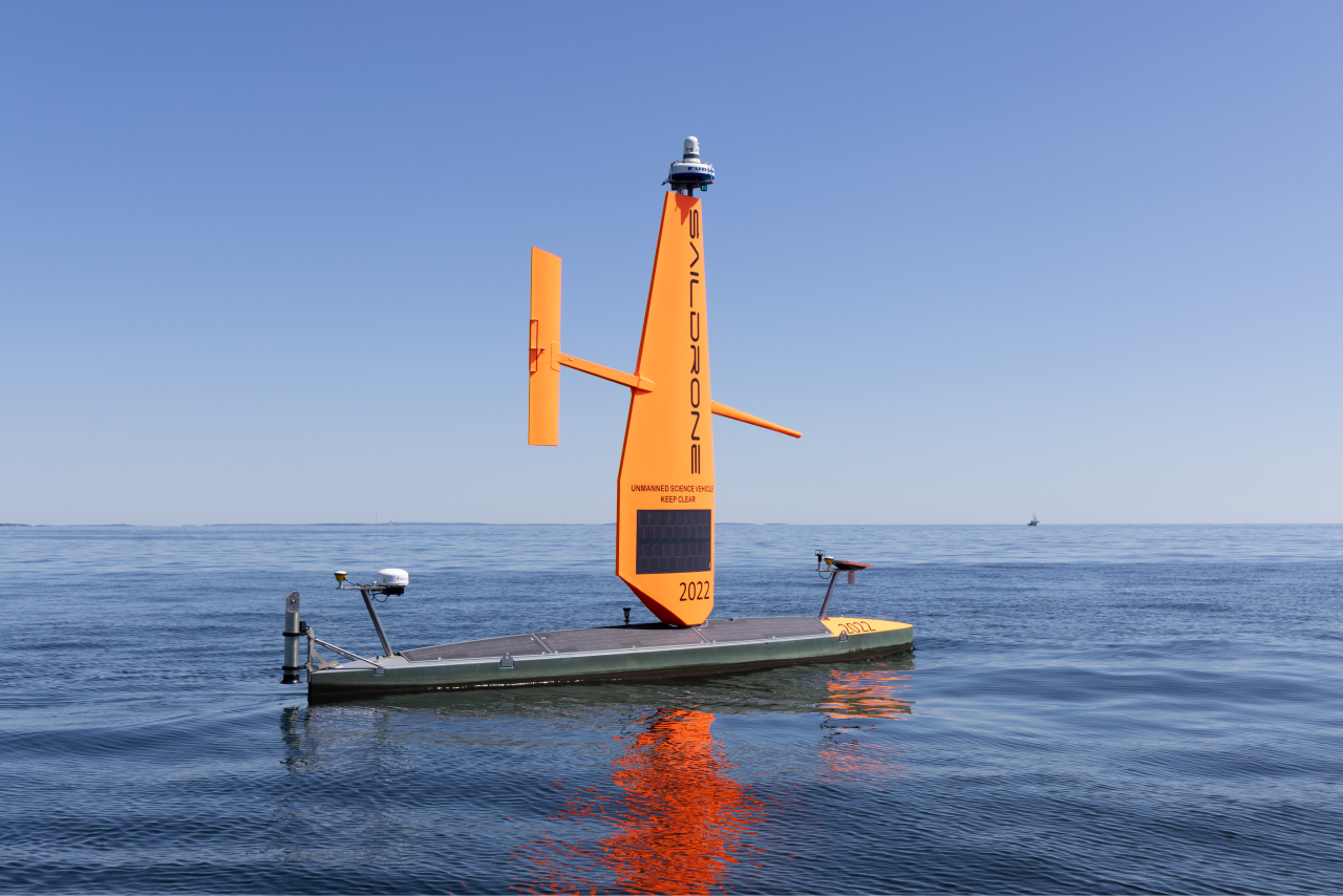
Saildrone described how long-endurance uncrewed surface vehicles could reduce the cost of large-scale bathymetric mapping.
Evidence notes
- The approach targets remote ocean areas that are difficult to survey with crewed research vessels.
- Uncrewed surface vehicles can collect bathymetric data without a full shipboard survey team.
- The source presents a mapping method and operating concept, not a completed customer deployment.
Company context
Saildrone builds and operates uncrewed surface vehicles for maritime intelligence, ocean mapping, ISR and environmental monitoring. Its platforms combine wind or solar power, onboard sensing and autonomy for long-endurance ocean missions.